Home
|
Products
|
9789356962026

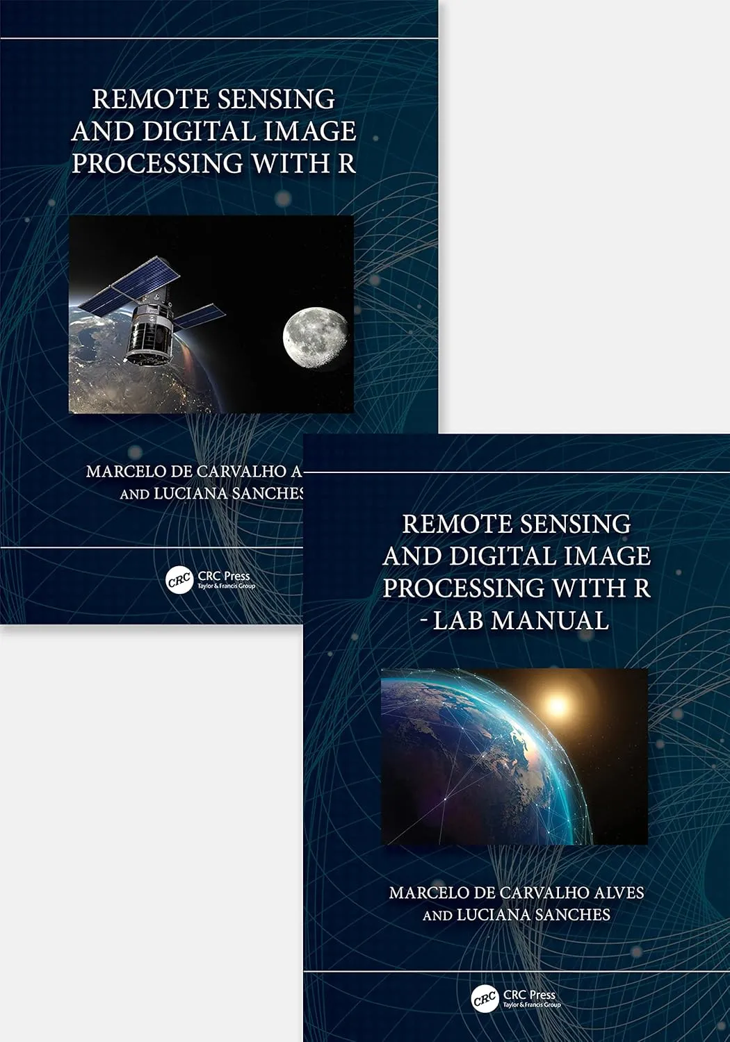
Remote Sensing And Digital Image Processing With R Textbook And Lab Manual 2 Vol Set | Hardcover
by Alves M.D.C.
Highlights

9781032461236
ISBN

Alves M.D.C.
Author

714
Pages

215 gm
Weight

English
Language

2023
Year

1st Edition
Edition

Hardcover
Binding
₹13760
₹15289
This new textbook and lab manual on remote sensing and digital image processing of natural resources includes numerous practical, problem-solving exercises, and case studies that use the free and open-source platform R. It explains the basic concepts of remote sensing and its multidisciplinary applications using R language and R packages, and engages students in learning theory through hands-on real-life projects.Features1. Aims to expand theoretical approaches of remote sensing and digital image processing through multidisciplinary applications using R and R packages. 2. Engages students in learning theory through hands-on real-life projects. 3. All chapters are structured with solved exercises and homework and encourages readers to understand the potential and the limitations of the environments. 4. Covers data analysis in free and open-source (FOSS) R platform, which makes remote sensing accessible to anyone with a computer. 5. Explores current trends and developments in remote sensing in homework assignments with data to further explore the use of free multispectral remote sensing data, including very high spatial resolution information.Students in upper-level undergraduate or graduate programs with Remote Sensing Course and Geoprocessing Course, civil and environmental engineering, geosciences, and environmental sciences, electrical engineering, biology, hydrology, agriculture Engineering. Professionals in different areas who use remote sensing and image processing.Students in upper-level undergraduate or graduate programs taking courses in Remote Sensing and Geoprocessing, civil and environmental engineering, geosciences, and environmental sciences, electrical engineering, biology, hydrology, agricultural engineering, as well as professionals in different areas who use remote sensing and image processing, will gain a deeper understanding and first-hand experience with remote sensing and digital processing, with a learn-by-doing methodology using applicable examples in natural resources. .
Online store of medical books
Discover a comprehensive range of medical books at our online store. From anatomy and physiology to the latest clinical guidelines, we've got you covered.
Trusted by students, educators, and healthcare professionals worldwide. Browse top publishers and expert-authored titles in every medical specialty. Enjoy fast shipping, secure payments, and easy returns. Your one-stop destination for quality medical knowledge at your fingertips.
Whether you're preparing for exams or expanding your clinical expertise, our curated collection ensures you have the right resources at hand. Dive into detailed illustrations, case studies, and up-to-date research that enhance your understanding and practical skills.
We regularly update our inventory to include the latest editions and newly released titles, helping you stay current in the ever-evolving medical field. Our advanced search and filtering tools make finding the perfect book quick and hassle-free.
Join our community of lifelong learners and medical enthusiasts. Sign up for exclusive discounts, early access to new arrivals, and personalized book recommendations tailored to your professional interests.
